
Sha Ha is a popular starting area for Sai Kung kayaking. Shorter routes towards Pak Sha Chau may suit a guided introduction, while a Sharp Island circuit or a journey towards Jin Island demands substantially more experience. This guide compares five route ideas and three preparation priorities. Times are estimates, and wind, swell, traffic and your actual launch point must be assessed before departure.
Use these route outlines and beach markers to discuss a suitable trip with a local provider. They are not turn-by-turn navigation instructions or a guarantee that a route is suitable on a particular day.
1. Check the Weather and Sea Conditions
Consult the Hong Kong Observatory and your operator. Lower wind speeds can make paddling easier, but wind force alone is not a safety test. Direction, gusts, swell, currents and visibility also matter, particularly for SUP.
If thunderstorm, monsoon or rainstorm warnings affect the activity, contact the provider about postponement and follow its cancellation policy.
Plan a return and contingency before launching. The original guide quotes private-boat pickup estimates of HK$100–200 per person, HK$100 for equipment and a typical HK$1,500 minimum, but these are not guaranteed rescue arrangements. Confirm availability and charges in advance; in an emergency, seek emergency assistance rather than waiting for a commercial pickup.
| Wind force (Beaufort) | Approximate speed (km/h) | Possible effects | Warning note | Effect on kayaking | Planning response |
|---|---|---|---|---|---|
| 0–1 | 0–5 | Little wind-driven surface disturbance | Check current warnings independently | Often easier, but other hazards remain | Proceed only after an appropriate local assessment |
| 2–3 | 6–20 | Small waves may develop | Warning signals are not determined by this local reading alone | More balance and directional control may be needed | Match the route to ability and conditions |
| 4–5 | 21–38 | More waves; paddling into wind becomes difficult | Check monsoon and tropical-cyclone information | Increased difficulty and capsize risk | Avoid, especially for beginners; follow operator cancellation rules |
| 6–7 | 39–61 | Strong wind and rough water | Check all active warnings | Very difficult and potentially uncontrollable | Do not launch for recreational paddling |
| 8+ | 62+ | Severe wind and dangerous seas | Severe-weather warnings may apply | Life-threatening conditions | Do not paddle |
2. Take Sun Protection Seriously
Wear appropriate sun-protective clothing and use sunscreen as directed. Cloud does not remove UV exposure, so prepare even when the sky is overcast.
A suitable hat and UV-protective sunglasses can help cover your face and eyes.
| Measure | Practical point |
|---|---|
| Sunscreen | Use a suitable water-resistant SPF50+ product; follow its label for application and reapplication, especially after water exposure or towelling. |
| Clothing | Long-sleeved UPF50+ clothing and a suitable broad-brimmed hat |
| Timing | Avoid prolonged exposure during the strongest midday sun; build in shade and breaks. |
| Accessories | UV-protective sunglasses |
| Hydration | Drink regularly and carry enough water for the activity and a delay. |
3. Bring Enough Food and Water
Kayaking uses energy, and an underprepared paddler may struggle on the return leg. Pack suitable snacks and food for the full outing, allow for delays and finish before exhaustion rather than treating supplies as a reason to extend an unsuitable trip.
| Activity duration | Original water estimate per person — adjust upwards as needed | Example snacks per person |
|---|---|---|
| 3 hours | 0.5–1 litre is the original estimate, not a sufficient amount for all heat or exertion levels. | 1–2 energy bars or a small serving of nuts or dried fruit (50–100 g), adapted to dietary needs |
| 6 hours | 1.5–2 litres is the original estimate; plan for actual heat, effort and a reserve. | 2–3 energy bars, two sandwiches and around 100 g of nuts or dried fruit, adapted to your needs |
Route Overview
| Route | Indicative difficulty | Estimated paddling time | Features and cautions |
|---|---|---|---|
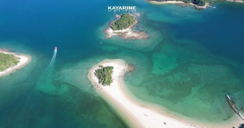
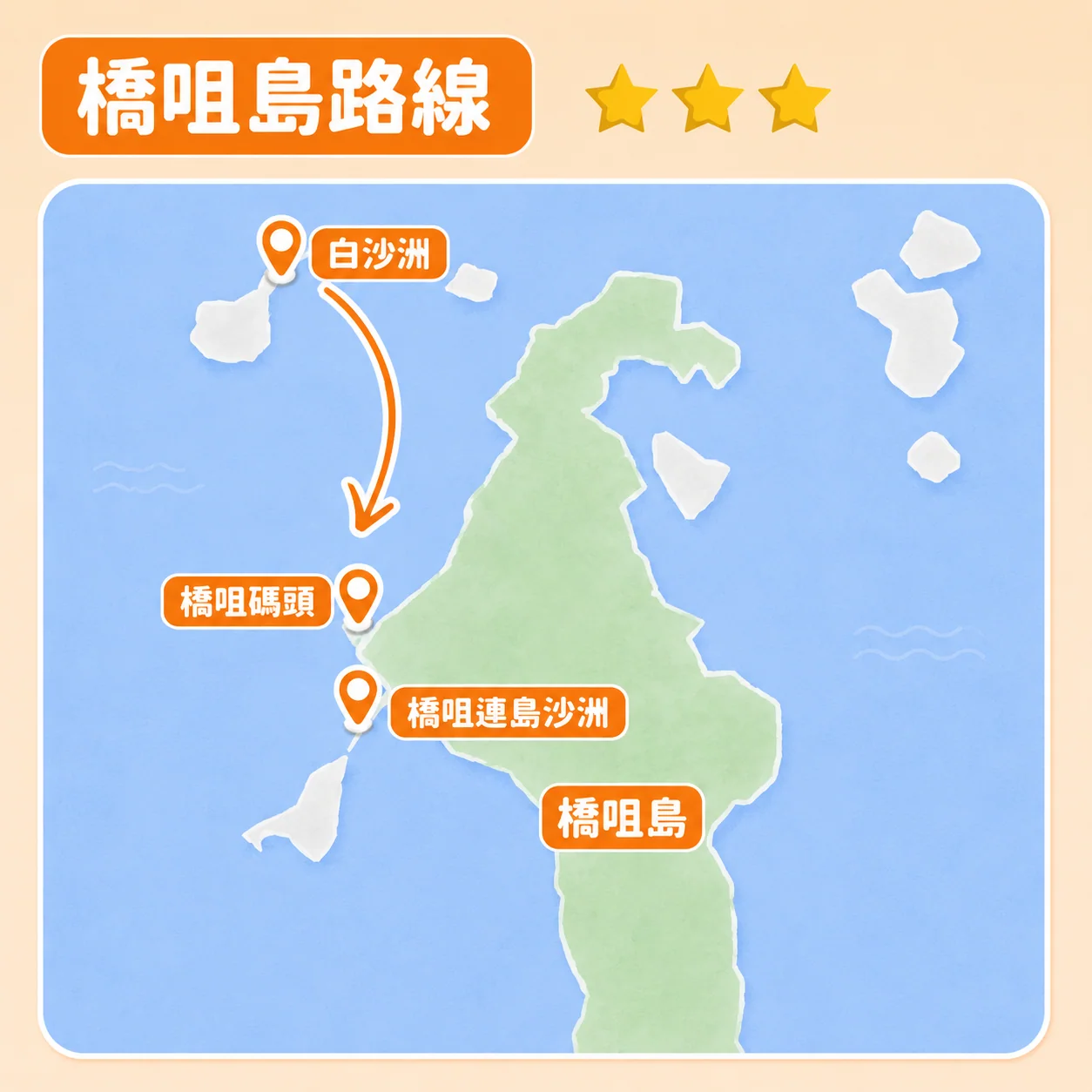
| Pak Sha Chau | ★☆☆☆☆ | 15–30 minutes | A shorter option with sandy beaches; watch for boat channels and wakes. Suitability depends on the launch point and conditions. |
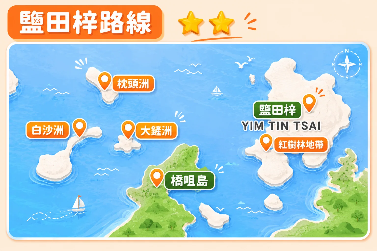
| Yim Tin Tsai | ★★☆☆☆ | Around 30–45 minutes | Village heritage, a Catholic chapel and mangroves; confirm landing and access arrangements. |
| Sharp Island | ★★★☆☆ | 1–1.5 hours | Geopark scenery, a tidal tombolo, volcanic rocks and marine habitats; assess crossings and return time. |
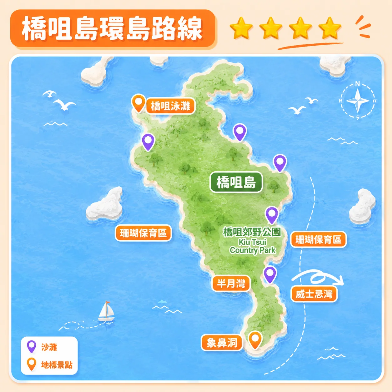
| Sharp Island circuit | ★★★★☆ | 2–3 hours | Half Moon Bay and eastern coastal scenery; exposed sections make this an experienced-paddler option. |
| Jin Island | ★★★★★★★★ | More than 5 hours | A very demanding undertaking requiring advanced skills, fitness and comprehensive planning; not a casual extension of a beginner trip. |
Route 1: Pak Sha Chau
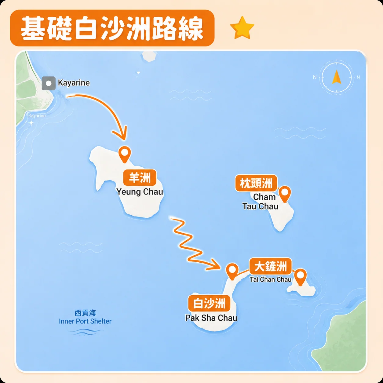
Difficulty: ★☆☆☆☆
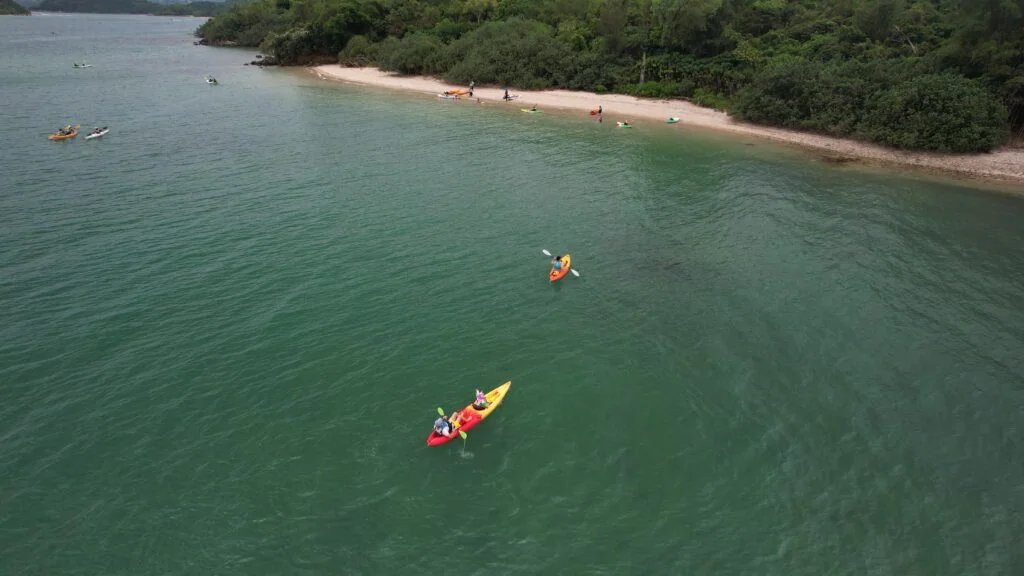
From the waterfront, Yeung Chau is visible and may be reached in roughly 5–10 minutes from some launch points. The route then continues towards Pak Sha Chau. Yeung Chau is small, so landing areas can feel crowded on holidays. Between Yeung Chau and Pak Sha Chau there is boat traffic, and wakes require attention. Reach a planned turning point before deciding whether conditions and remaining energy justify any further distance.
Route 2: Yim Tin Tsai
Difficulty: ★★☆☆☆
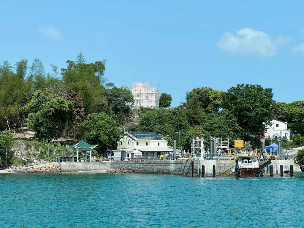
Yim Tin Tsai offers village heritage, a Catholic chapel, art features, local food and the Jade-Girdle Bridge. Mangrove areas add ecological interest, but access depends on the tide and local guidance. Observe without damaging roots, disturbing wildlife or entering a channel you cannot safely leave.
Route 3: Sharp Island
Difficulty: ★★★☆☆
Sharp Island is part of Hong Kong’s Geopark landscape, with distinctive rocks and a tombolo exposed at suitable low tides. Its surrounding waters support marine life. The guide estimates 1–1.5 hours of paddling, but the actual launch point and sea conditions can make a significant difference; plan the return as carefully as the outward trip.
Route 4: Around Sharp Island
Difficulty: ★★★★☆
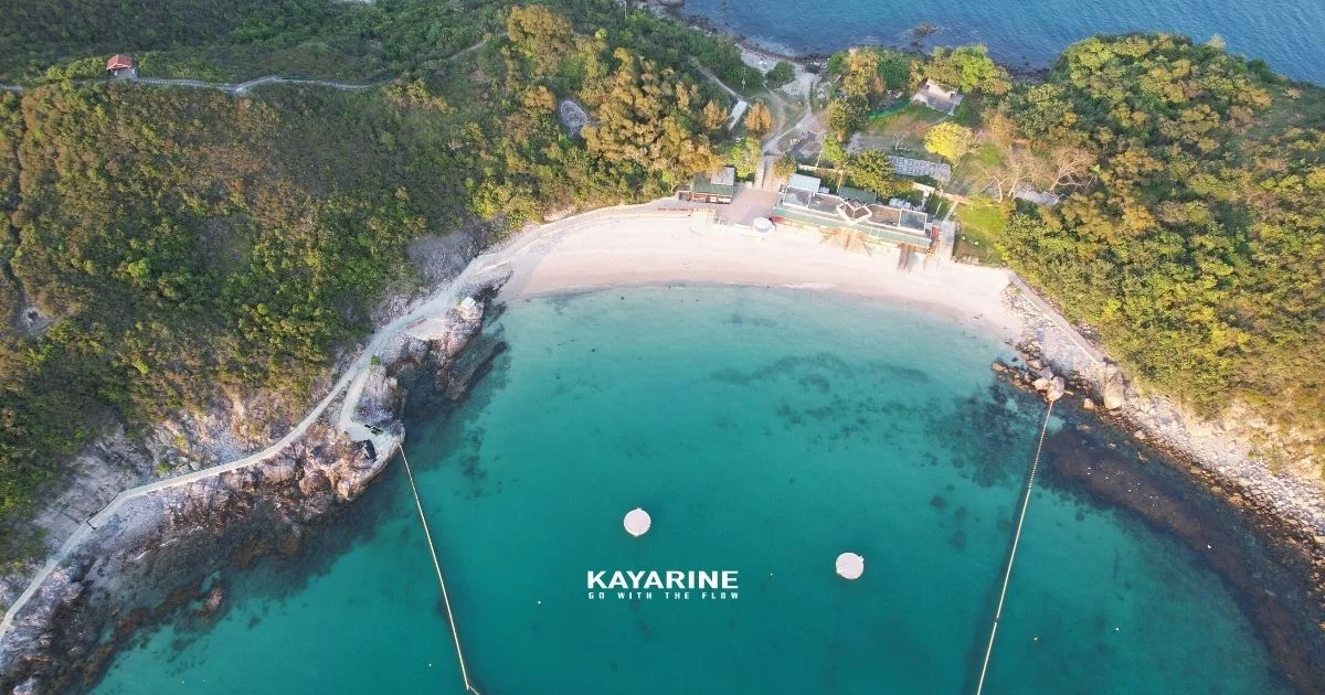
Many first-time visitors aim for the pier area and nearby beaches. A full circuit is a different undertaking: Half Moon Bay and the eastern coast are farther away, with greater exposure and fewer easy rest options. Consider it only with appropriate experience, weather and a clearly planned return.
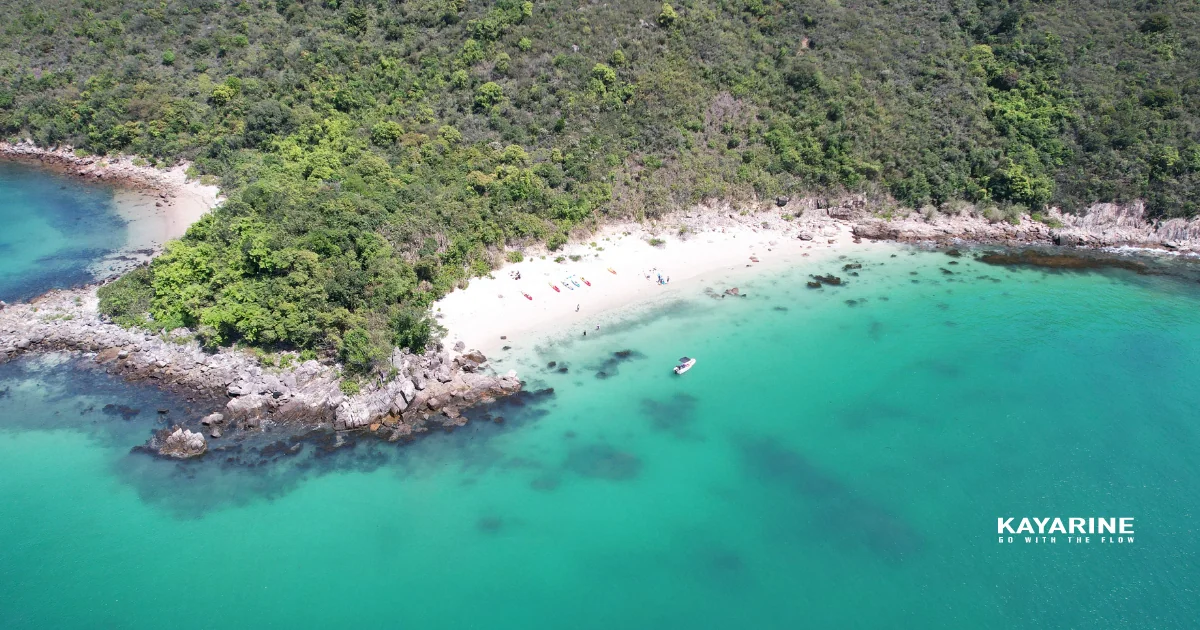
Long Mong Wanis one of the quieter beach areas mentioned on Sharp Island’s eastern side. Reaching it involves additional distance around the coast beyond the pier area. Fewer visitors do not mean safer or calmer water. Bring sufficient supplies, check wind and tide, and allow a generous return margin before choosing this more demanding option.
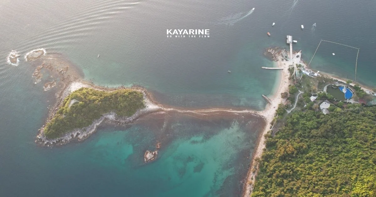
Advanced Route: Jin Island — Serious Caution Required
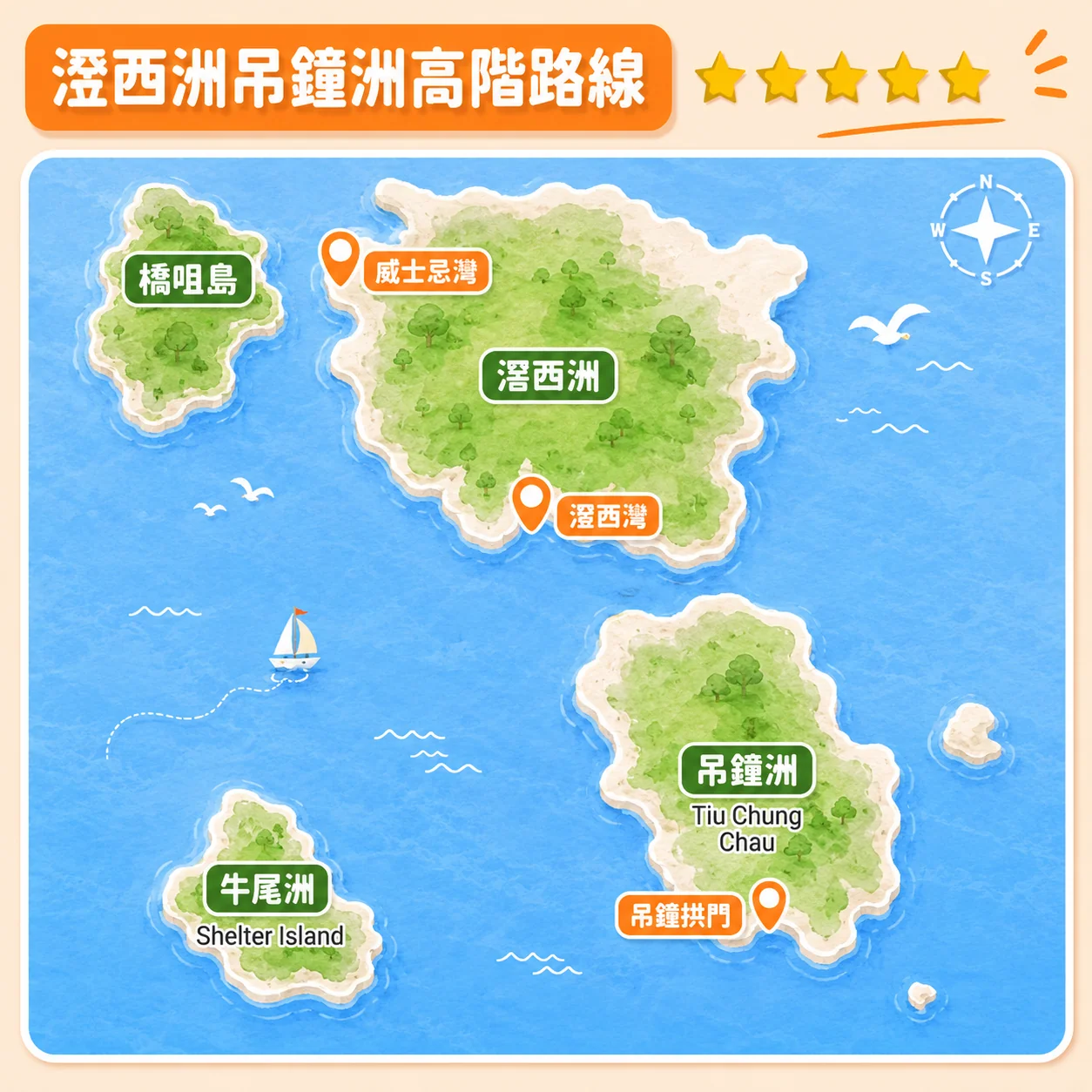
Difficulty: ★★★★★★★★
This route is too demanding to recommend from a short blog description alone. Advanced paddlers should plan it with reliable marine information and local expertise, including exposed crossings, weather changes, communications, bailout options and support. Do not attempt it simply as an endurance challenge.
Navigation tip: Save appropriate maps and waypoints before departure and carry a suitable backup. A phone map alone does not replace marine route planning or knowledge of hazards and traffic.
Frequently Asked Questions
How long are kayaking routes from Sha Ha?
Distance and duration depend on the route and starting point. The original guide uses roughly 3–5 km and 1–2 hours for some introductory outings, and more than 10 km for longer trips. Confirm whether quoted times include the return, stops and instruction, and allow for wind and tide.
Are there routes suitable for beginners?
There are shorter routes that may be appropriate in suitable conditions. A guided introductory session helps with equipment, route choice and safety procedures, but does not remove the risks. Tell the provider your experience and choose a conservative route rather than following a difficulty star alone.
Which islands can be reached from Sha Ha?
Nearby route ideas include Pak Sha Chau, Yim Tin Tsai and Sharp Island. Farther destinations such as Kau Sai Chau, Jin Island or Fire Stone Islet involve significantly greater exposure and planning. They should not be treated as equivalent beginner choices.
Prefer to Paddle with an Instructor?
Kayarine offers Sai Kung kayak and SUP rental and instructor-led experiences. From Sai Kung Pier, walk around five minutes along the waterfront to the Kayarine meeting and equipment collection point. This meeting point is not Sha Ha. Rental includes equipment and a basic pre-departure safety briefing; guided experiences include an instructor throughout.