
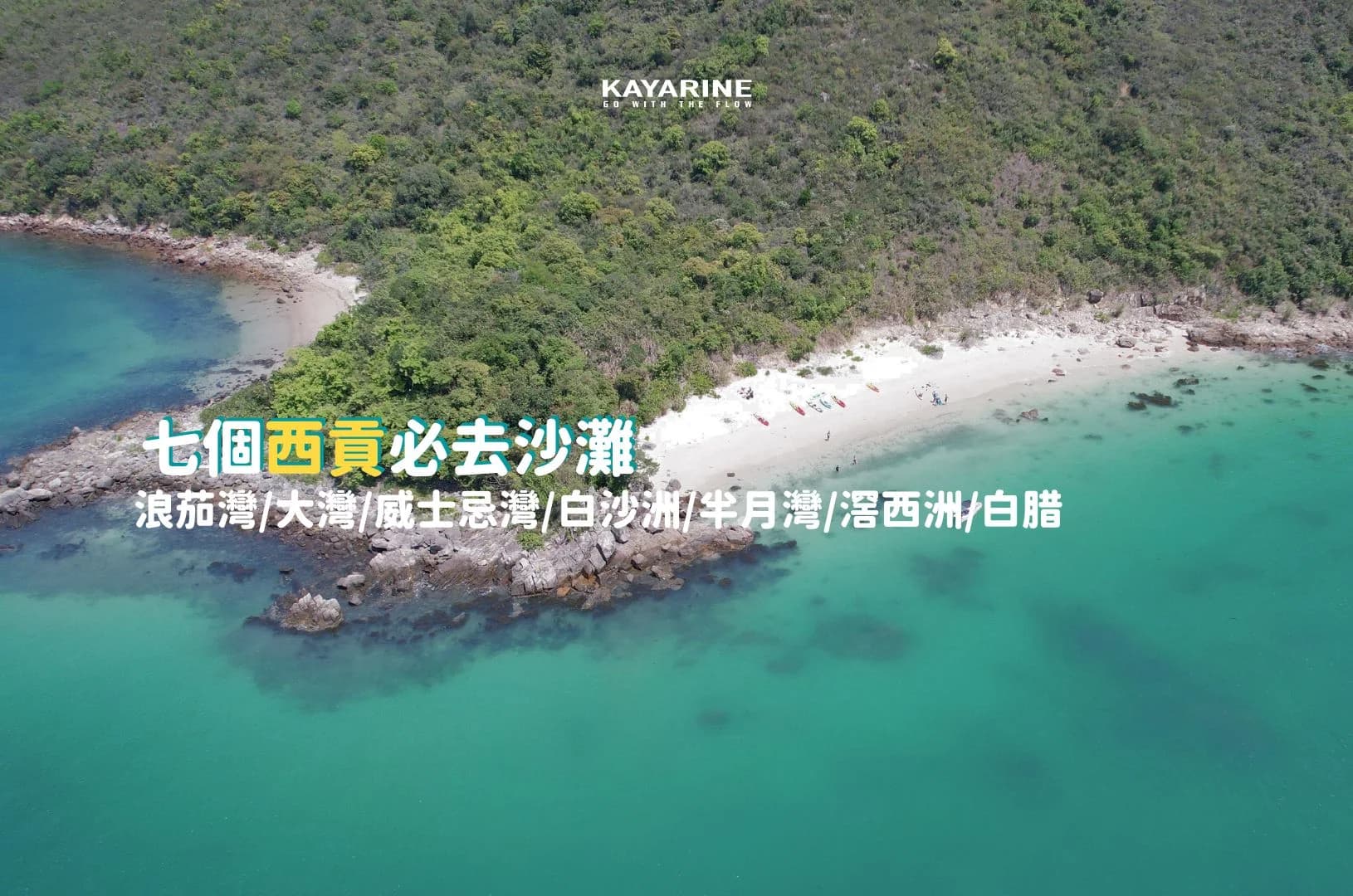
This guide introduces seven Sai Kung beach areas: Long Ke Wan, Tai Wan, Whiskey Beach, Pak Sha Chau, Half Moon Bay, Kau Sai Wan and Pak Lap. Some require a boat trip or a substantial walk. Kayaking or SUP from Sha Ha offers another way to explore suitable nearby destinations, provided the route matches your ability and conditions. Travel and paddling times below are estimates.
1. Long Ke Wan, Sai Kung
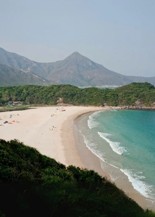
Often nicknamed ‘Hong Kong’s Maldives’, Long Ke Wan is known for its clear-looking water and fine sand. The broad beach makes a scenic destination for a weekend outing.
Getting There
1. Walk from High Island Reservoir East Dam
Check the operating days and hours of green minibus 9A between Pak Tam Chung and the East Dam, or arrange a taxi. From the dam, allow roughly 30–45 minutes on the hill trail to Long Ke Wan.
2. Walk from Sai Wan Pavilion
Outward route: Sai Wan Pavilion → Sai Wan Shan → Long Ke Wan, approximately 2 hours depending on pace and conditions.
Return route described in this guide: Long Ke Wan → High Island Reservoir East Dam → Chong Hing Water Sports Centre area → Tsak Yue Wu, approximately 3.5–4 hours. Plan the full route and transport before setting out.
3. Arrange a boat from Sai Kung
A boat operator at Sai Kung Pier may offer a faster sea transfer when conditions permit. The guide’s indicative fare is HK$200–250 per person; availability, landing conditions and actual prices must be confirmed directly.
2. Tai Wan, Sai Kung
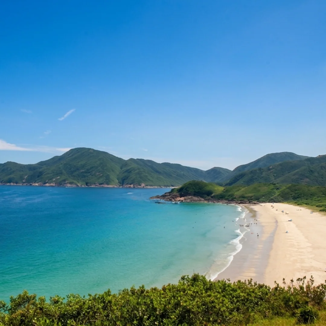
Starting from Sai Wan Pavilion
- Check village bus 29R services from Sai Kung town to Sai Wan Pavilion before travelling.
- Alternatively, take a taxi from Sai Kung town to Sai Wan Pavilion.
Finishing at Chek Keng Public Pier
- Arrange a local boat transfer from Chek Keng to Wong Shek Pier where available.
- Check kaito services towards Wong Shek Pier or Ma Liu Shui, including the final departure and operating days.
3. Whiskey Beach, Sai Kung
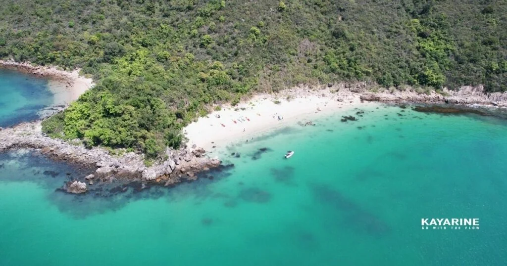
1. Boat from Sai Kung
A boat transfer can be the most convenient option. Ask local operators about availability, fares and a confirmed return arrangement.
2. Kayak or SUP: Paddling may be possible for suitably experienced participants, but allow sufficient time and assess the route with the rental provider.
Indicative paddling time: 2–3 hours one way, depending on fitness, starting point and conditions.
Kayak services: Sai Kung kayak rental
4. The Beaches Around Pak Sha Chau, Sai Kung
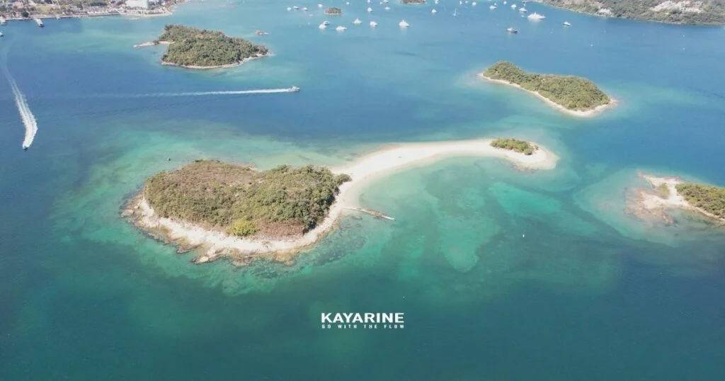
Pak Sha Chau is a small island off Sai Kung, around 200 metres across, known for its pale sand. It lies close to Siu Chan Chau, and deposited sand creates distinctive beaches and a tidal sandbar between the islands. The sandbar is also a popular setting for wedding photographs; its accessibility changes with the tide.
1. Kayak or SUP: Pak Sha Chau is relatively close to town. The guide estimates around half an hour of paddling, but your launch point, ability and conditions can change this considerably.
Indicative paddling time: around 30 minutes one way.
Kayak services: Sai Kung kayak rental
5. Half Moon Bay, Sai Kung
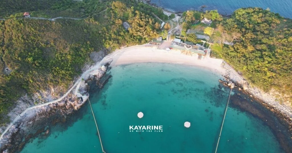
Half Moon Bay, formally Hap Mun Bay, is a well-known Sai Kung beach on Sharp Island. A local story links its English name to the sound of ‘Hap Mun’, although this is best treated as a naming anecdote. The bay is admired for its scenery and water clarity on suitable days. Check the latest official beach-water information rather than assuming a permanent top rating. A nearby heart-shaped rock pool is also a photography attraction, subject to safe access.
6. Kau Sai Wan, Sai Kung
Kau Sai Wan is farther from Sai Kung town and can feel quieter. Water visibility varies with weather, rainfall and sea conditions; on clear days you may see the shallow seabed.
1. Kayak or SUP — separate Sharp Island route estimates: heart-shaped rock pool, 1–1.5 hours; Half Moon Bay, 1.5–2 hours. These are not directions to Kau Sai Wan.
Starting with Sai Kung kayak rental, the guide estimates around an hour to Sharp Island Pier, followed by a route past the tombolo towards the rock pool and Half Moon Bay. Treat this as a route outline only: ask the provider about tide, exposed sections and safe passage rather than assuming the sandbar can be crossed by boat.
2. Jockey Club ferry
The guide lists return fares of HK$70 for adults and HK$40 for children and seniors. Confirm current fares, eligibility and the destination directly; a golf-course ferry should not be assumed to provide access to every beach on Kau Sai Chau.
7. Pak Lap, Sai Kung
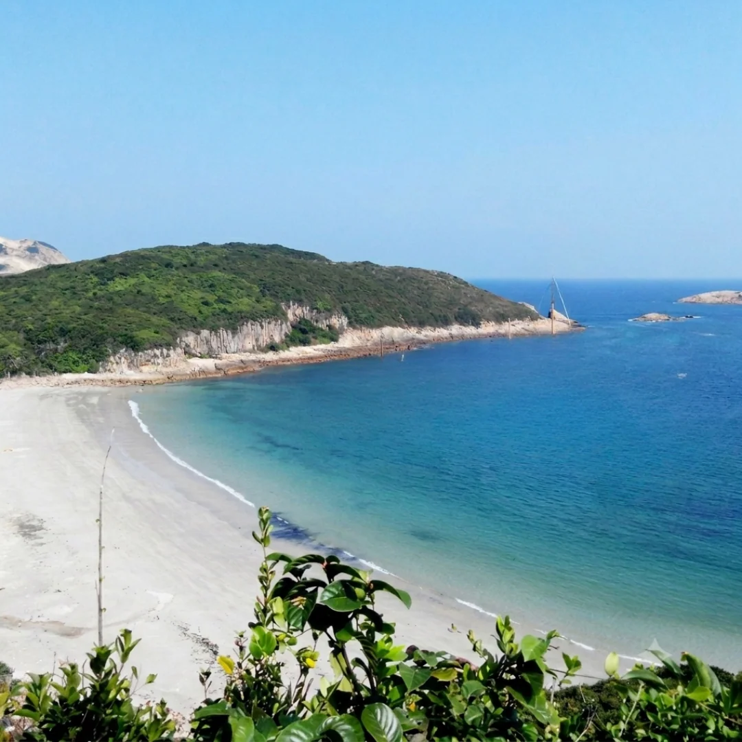
Pak Lap is a well-known sandy bay within the Hong Kong Geopark area, also visited by hikers. Road access passes through a restricted country-park area, so private cars require the appropriate permit. Consider these access options and plan the final walk:
1. Taxi
From Sai Kung Pier, the guide estimates around 30 minutes to the turn-off for Pak Lap Village, marked by a pavilion. Confirm the drop-off point and allow time to walk to the beach.
2. Bus
KMB route 94 from Sai Kung Bus Terminus
Take route 94 to Pak Tam Chung. A walking approach then follows the MacLehose Trail Section 1 and Man Yee Road towards the reservoir and West Dam, continuing towards Pak Lap. This is a long approach; the guide allows around two further hours beyond the West Dam. Check a map and your total daylight allowance.
3. Green minibus 7 or 9
Alight at Pak Tam Chung and plan the same long walking approach via Man Yee Road and the reservoir. Check current minibus stops and the complete route before departure.
Before Paddling to a Beach
Some beach destinations involve lengthy or indirect land access. Kayaking or SUP can offer another perspective, but only on a route appropriate to your experience and the day’s conditions:
- Check wind and warnings: The original guide uses force 1–3 as a rough reference, but this is not a beginner safety guarantee. Stronger wind, offshore wind, swell or warnings may require cancellation; follow your provider’s assessment.
- Keep energy for the return: Listed paddling times are one-way estimates. Plan the return journey and a contingency in advance; do not assume a speedboat pickup will be available when you become tired.
- Tides: Tombolos such as Sharp Island’s are exposed only at suitable low tides. Check predictions and leave time to return before the crossing is covered.
- Equipment: Wear a correctly fitted life jacket and bring waterproof phone protection, enough drinking water and sun protection.
- Protect the environment: Take your rubbish away, avoid standing on coral and do not collect marine life.
Seasons for Visiting Sai Kung Beaches
Each season offers different conditions. Choose your activity accordingly:
- Spring: March–May: Warmer weather can be pleasant for beach visits and paddling, although fog may reduce visibility.
- Summer: June–September: Water is warmer, but typhoons, thunderstorms and extreme heat require careful planning. Always check current Observatory warnings.
- Autumn: October–November: Clear days can offer attractive coastal views, including Half Moon Bay and Whiskey Beach. Monitor monsoon winds rather than assuming calm water.
- Winter: December–February: Quieter beaches can be appealing for walking and photography, but cold water and wind call for appropriate clothing and conservative plans.
Whatever the season, check the tide: sandbars disappear and beaches can shrink as water rises. For paddling trips, calculate both outward and return time and reassess wind and conditions.
Want to Explore by Kayak?
Kayarine offers family kayaking and kayak-snorkelling experiences accompanied by instructors. From Sai Kung Pier, it is around a five-minute walk along the waterfront to the Kayarine meeting and equipment collection point. Refer to the booking page for the actual route, duration and arrangements.